At any given moment, roughly 70 percent of the Earth’s surface is blanketed by clouds. In tropical regions like India, persistent cloud cover can obscure the ground for up to 85 percent of the year. For decades, this atmospheric barrier has capped the true business potential of space-based Earth Observation (EO). Commercial optical satellites deliver crisp imagery, but their cameras cannot see through dense cloud cover or operate in complete darkness.
When an optical satellite provider cannot guarantee weekly imagery due to unpredictable weather, enterprise adoption stalls. Ground operations—from power grid transmission lines to agricultural supply chains—require deterministic Service Level Agreements (SLAs). They need continuous, weather-agnostic data feeds, not occasional clear-sky snapshot updates.
In a recent session of Dassault Systèmes’ 3DEXPERIENCE Innovation Matters, Vivek Salvi (Senior Sales Director at Dassault Systèmes India) sat down with Suyash Singh (CEO and co-founder of Indian space-tech startup GalaxEye) to unpack how satellite hardware design fused with Virtual Twin simulation is unlocking continuous industrial foresight from orbit.
Traditional space observation forces hardware engineers to choose between two distinct sensor modalities:
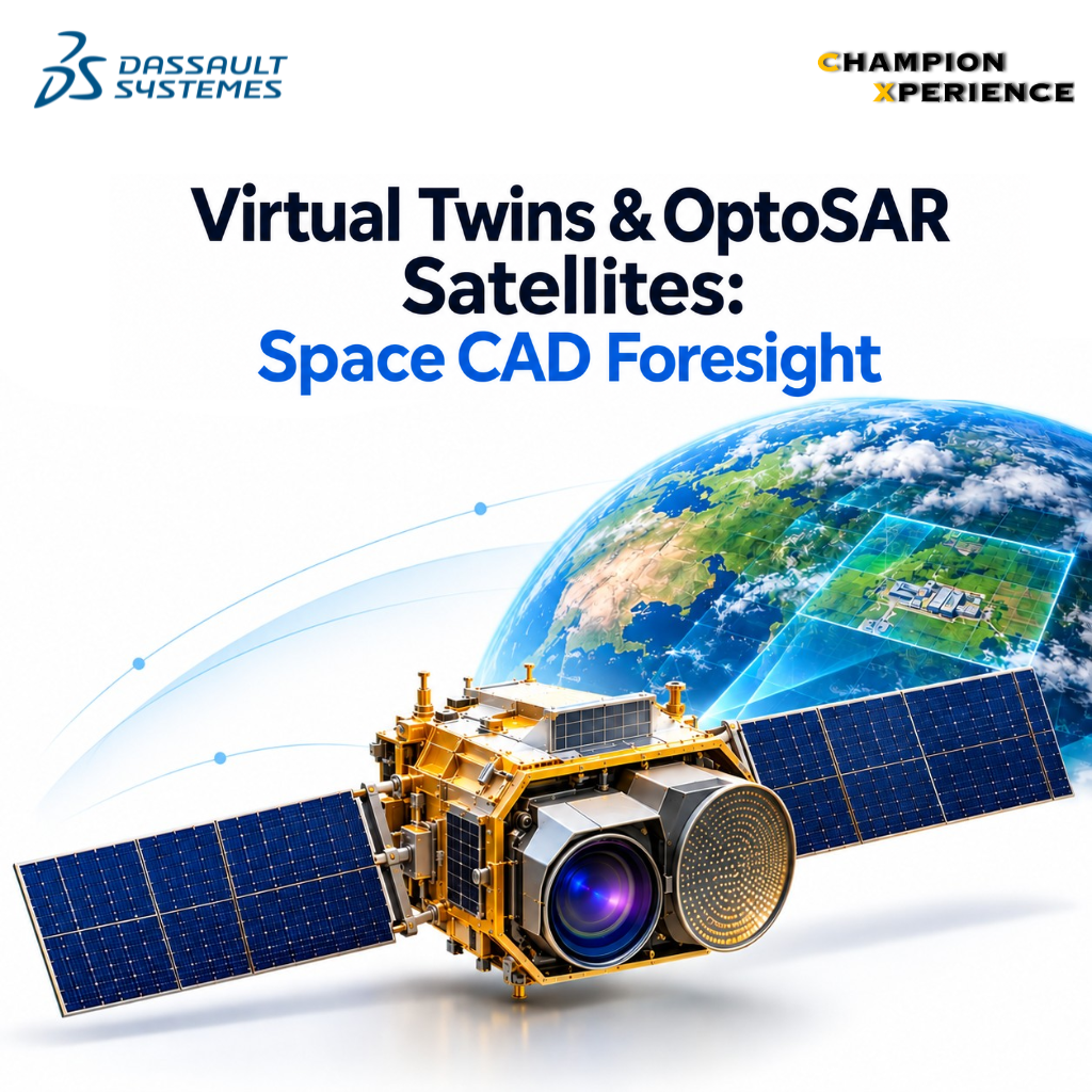
GalaxEye resolved this trade-off by engineering its proprietary Syncfused OptoSAR payload. Instead of launching separate optical and radar satellites and attempting to stitch together misaligned imagery after the fact, OptoSAR mounts both an optical multispectral imager and a SAR sensor onto a single, thermally stable optical bench. GalaxEye’s patented OptoSAR architecture ensures both sensors capture the exact same target, from the exact same orbital angle, at the exact same fraction of a second.
“Space for space is not the most exciting application. Space for Earth – that is the most exciting domain to be in.”—Suyash Singh, CEO & Co-founder, GalaxEye
By capturing aligned optical and microwave datasets in a single orbital pass, the platform guarantees a reliable weekly image refresh rate anywhere on Earth, regardless of rain, monsoons, or zero-light conditions. Testing against India’s massive geographic diversity—spanning deserts, dense rainforests, snow-capped Himalayas, and coastal zones—ensures the calibration models handle virtually every terrain variability found across the globe.
Building space hardware carries a zero-margin-for-error reality: once a satellite leaves the launch pad, you cannot send an engineer to fix a thermal leak or adjust a misaligned structural bracket. Every component must execute flawlessly under intense acoustic vibrations during launch, sudden thermal swings in orbit (+120°C to -150°C), and harsh cosmic radiation.
This unforgiving environment makes virtual validation an absolute engineering requirement. By leveraging physics-based multiphysics simulation on the 3DEXPERIENCE platform, space-tech teams simulate mechanical stresses, thermal dissipation, electromagnetic wave propagation, and orbital dynamics long before committing to physical prototyping.
According to Vivek Salvi, physics-driven simulation enables satellite engineering teams to eliminate 70 to 80 percent of potential hardware design errors early in the conceptual phase. Rather than building and destroying expensive physical iterations, designers run hundreds of automated “what-if” scenarios inside a Virtual Twin environment.
This closed-loop digital methodology accelerates development timelines while de-risking capital investments. For deep-tech startups scaling from a single technology demonstrator satellite to a commercial constellation, physics-validated Virtual Twins mean the difference between a successful deployment and catastrophic hardware failure in orbit.
To understand why combining OptoSAR hardware with Virtual Twin analytics represents a shift for enterprise manufacturing and infrastructure, let’s look at how legacy imaging compares to fused, virtualized observation ecosystems:
| Capability / Feature | Legacy Optical Satellites | Standalone SAR Satellites | GalaxEye Syncfused OptoSAR + Virtual Twin |
| Weather Capability | Clear-sky only (Blocked by clouds) | All-weather, day & night | All-weather, day & night (Fused pass) |
| Data Alignment | Optical only | Radar backscatter only | Spatially & temporally co-located in hardware |
| Imagery Intuition | High visual clarity | Requires complex interpretation | Combines visual detail with radar depth |
| Delivery SLA | Unpredictable (Weather dependent) | Predictable (Low visual detail) | Guaranteed weekly refresh rate |
| Hardware Validation | Physical prototype iterations | Physical prototype iterations | 70-80% design errors caught via Virtual Twin |
Persistent satellite monitoring combined with AI analytics opens four critical operational frontiers for manufacturing, energy, and infrastructure leaders:
As commercial imagery becomes more frequent, questions surrounding regulatory compliance and personal privacy naturally arise. Under current satellite imaging policies, resolution thresholds are intentionally capped at 30 centimeters.
At 30-centimeter resolution, satellites cannot resolve individual facial features or personal identity markers. Instead, the sensor pipeline focuses strictly on macro-level human activity: tracking vehicle density along freight corridors, identifying structural modifications in factory footprints, or measuring agricultural crop performance.
This balance safeguards individual privacy while arming industrial operations with the macro-level foresight needed to build resilient ground operations.
This article builds upon insights shared during the 3DEXPERIENCE Innovation Matters interview hosted by Dassault Systèmes, featuring Vivek Salvi (Senior Sales Director, Dassault Systèmes India) and Suyash Singh (CEO & Co-founder, GalaxEye).